Plan Change 120 and landslide hazard risks
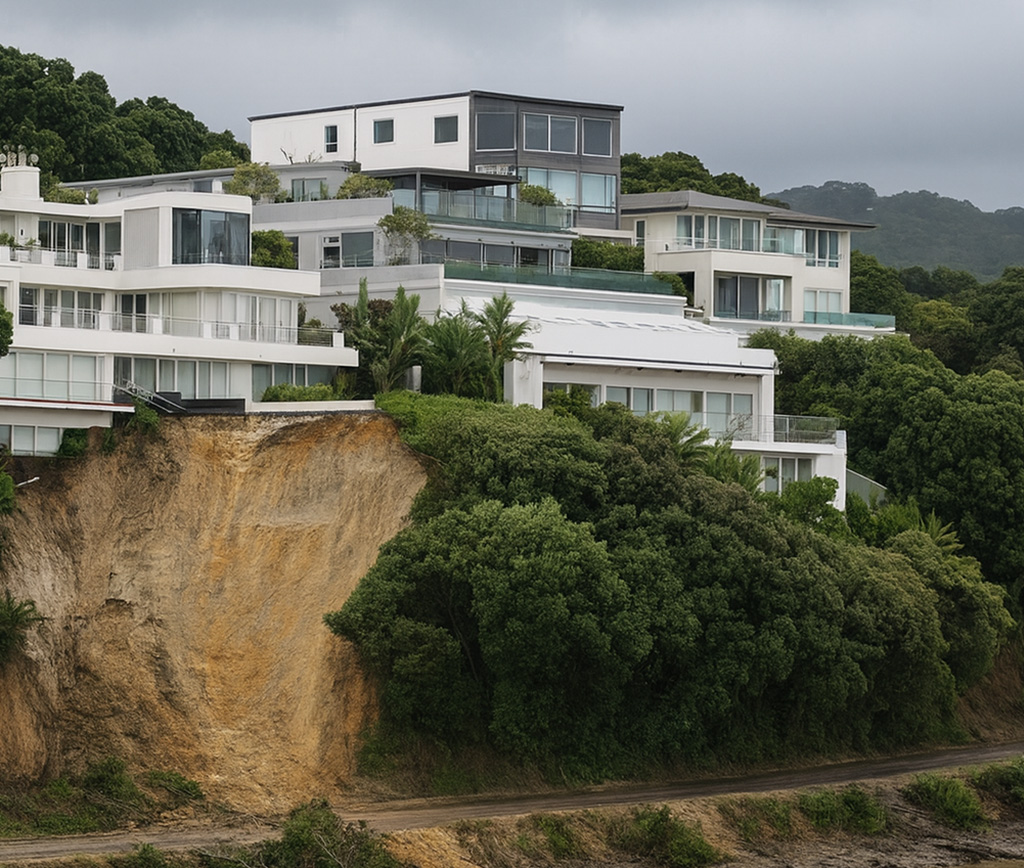
With four days left in Auckland Council’s Proposed Plan Change 120 (PC120) submission window, now is a critical time for Auckland landowners to understand what the new landslide hazard provisions mean for their sites. The updated landslide susceptibility mapping now sits alongside your property information and can influence both current resource consent applications and future development plans.
PC120, notified on 3 November 2025, updates the Auckland Unitary Plan provisions for housing and natural hazards. For people who own land or are developing on steep or unstable sites, the key shift is a move to a risk-based hazard framework that changes how landslide and land instability risk are mapped, assessed and regulated.
The big change: a risk-based hazard framework
PC120 rewrites the Auckland Unitary Plan’s Natural Hazards Chapter (E36) to use an explicit risk avoidance in the first instance. Instead of treating “hazard present” as a blunt trigger, the plan now asks: what level of risk exists, how vulnerable is the activity, and can a proposal show that risk will be tolerable or acceptable?In short, avoidance comes first, with management measures expected wherever development proceeds.
For landslides, this means:
- Consents will be tested against clearer risk categories (significant, potentially tolerable, acceptable), which is determined by an activity’s vulnerability. Residential and other habitable uses are treated as significant risk by default.
- Proposals must demonstrate they will not increase risk to people, property, infrastructure, or neighbouring land.
- Greater emphasis on site-specific geotechnical evidence, especially where earthworks, vegetation removal, drainage alterations, accessways, or subdivision could affect slope stability.
Updated overlays and mapping
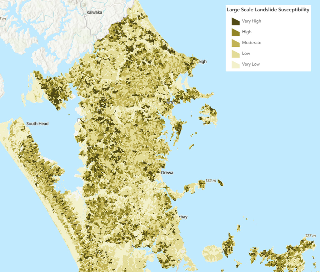
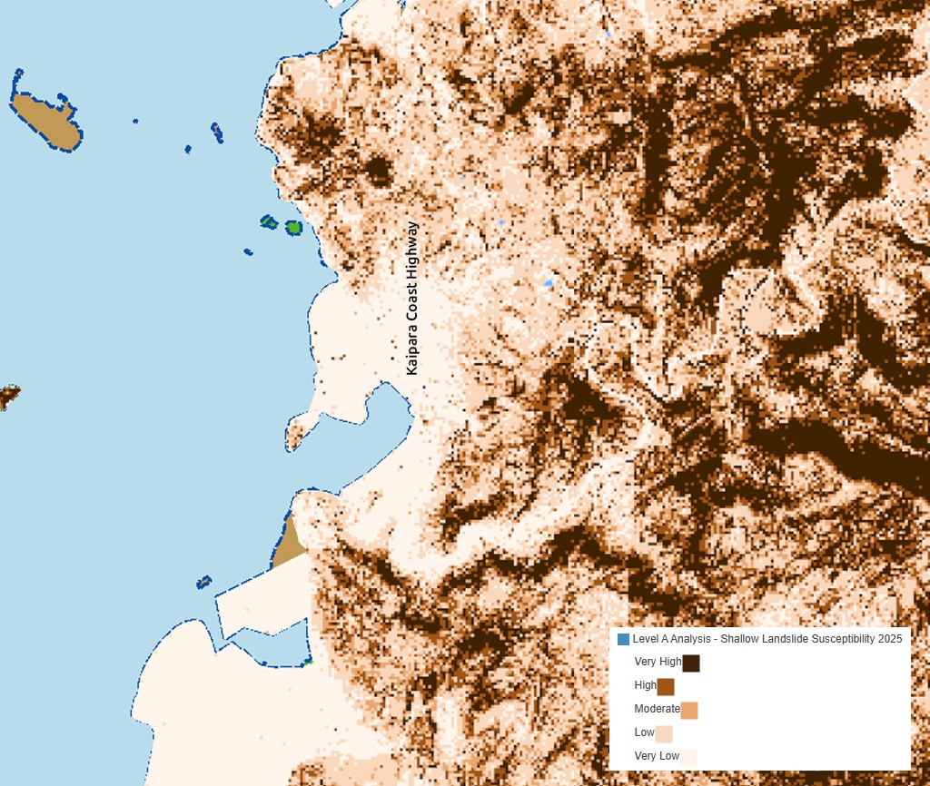
PC120 also draws on Auckland Council’s new region-wide Landslide Susceptibility Study (May 2025). This work refines where land instability and landslide-prone areas sit, and it underpins the proposed overlays on planning maps and LIM reporting. If you’d like a brief summary of this study, you can view Auckland Council’s summary here.
You can view the Council’s current GIS layers here:
Large Scale Landslide Susceptibility (Level A, 2025)
https://services1.arcgis.com/n4yPwebTjJCmXB6W/ArcGIS/rest/services/Large_Scale_Landslide_Susceptibility/FeatureServer
Shallow Landslide Susceptibility (Level A, 2025)
https://data-aucklandcouncil.opendata.arcgis.com/items/7bc3e13a8c194946b478736afcd9d840
These layers are regional-scale susceptibility mapping, so they indicate where landslides are more likely, but they do not replace detailed site investigation.
What has immediate legal effect now
Because PC120’s natural hazard rules are notified under the RMA immediate-effect provisions, the updated Chapter E36 landslide rules apply from 3 November 2025. In other words, they already influence the preparation and decisions on new resource consents lodged or processed today. This means resource consent applications need to be supported by stronger site-specific specialist assessments.That immediate effect includes:
- The new E36 objectives and policies.
- The risk-based hazard assessment framework, including land instability.
- Activity status triggers and standards for development in mapped landslide hazard areas.
- Stronger information requirements (hazard risk assessment and geotechnical reporting).
Please note, overlay boundaries and thresholds are still proposed and will be tested through submissions and hearings.
Practical takeaways
- Check the new landslide GIS layers to understand whether a susceptibility overlay is likely to affect your site.
- Expect more geotechnical scrutiny, and plan for it in timeframes and budgets.
- Design with risk reduction in mind, including careful management of earthworks and stormwater.
Thinking of making a submission?
If you wish to make a submission, please note that we are currently receiving a very high volume of requests relating to Plan Change 120. To ensure you are able to meet the deadline (5pm, 19th of December), we recommend lodging a general submission using Auckland Council’s form.
Keeping your submission general preserves the flexibility to expand on key points during the hearing process, and if you would like support, our team can assist with more detailed input and, where appropriate, provide hearing evidence.
Want to know more about PC120?
View our free webinar on demand.