Surveying Services
Subdivision and surveying expertise to support your project from concept through to completion.
- Subdivision plans/scheme plans
- Land, engineering, and construction surveying
- Boundary and legal cadastral surveys
- Topographical, drone, and 3D laser scanning
- Integrated surveying for land development and infrastructure
Professional survey expertise is the foundation of every successful project
Whether you're developing land, constructing a building, redefining a boundary, or requiring legal certification, experienced surveying and subdivision expertise provides the foundation for our projects success.
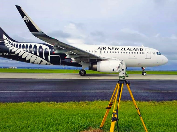
Our experienced land surveyors deliver precise, reliable information that supports every stage of a project, from early planning and concept design through to construction and legal completion. Working across Auckland, Northland and Waikato, we provide surveying services for residential, rural, commercial, infrastructure, and public sector projects.
As part of Cato Bolam's multidisciplinary team, our surveyors work alongside planners, engineers, architects, and project managers to ensure survey information is integrated into the wider project from the outset, reducing rework and supporting more efficient project delivery.
Comprehensive surveying services
Our surveying team provides a full range of cadastral, engineering, construction, and spatial surveying services.
Our services include:
- Topographical surveys and site plans/scheme plans
- Boundary redefinition surveys
- Land Transfer surveys including freehold, unit title, cross lease and BOMA
- Easement, covenant and right of way surveys
- Legalisation surveys
- Engineering surveying
- Civil construction set out
- Building set out and certification
- As-built surveys and plans
- Concept and subdivision plans
- Height in Relation to Boundary determinations
- Precise level surveys and settlement monitoring
- Drone (UAV) surveying and aerial mapping
- 3D laser scanning and point cloud modelling
- Photogrammetric survey control
- Spatial data capture and GIS services
Need surveying advice? Talk to our Surveying Team
Contact us todayExperience backed by modern technology
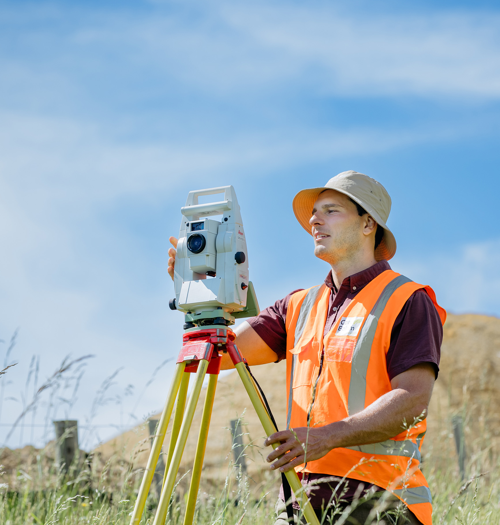
Our team includes Registered Professional Surveyors and Licenced Cadastral Surveyors who work across a wide variety of residential, rural, commercial, and infrastructure projects.
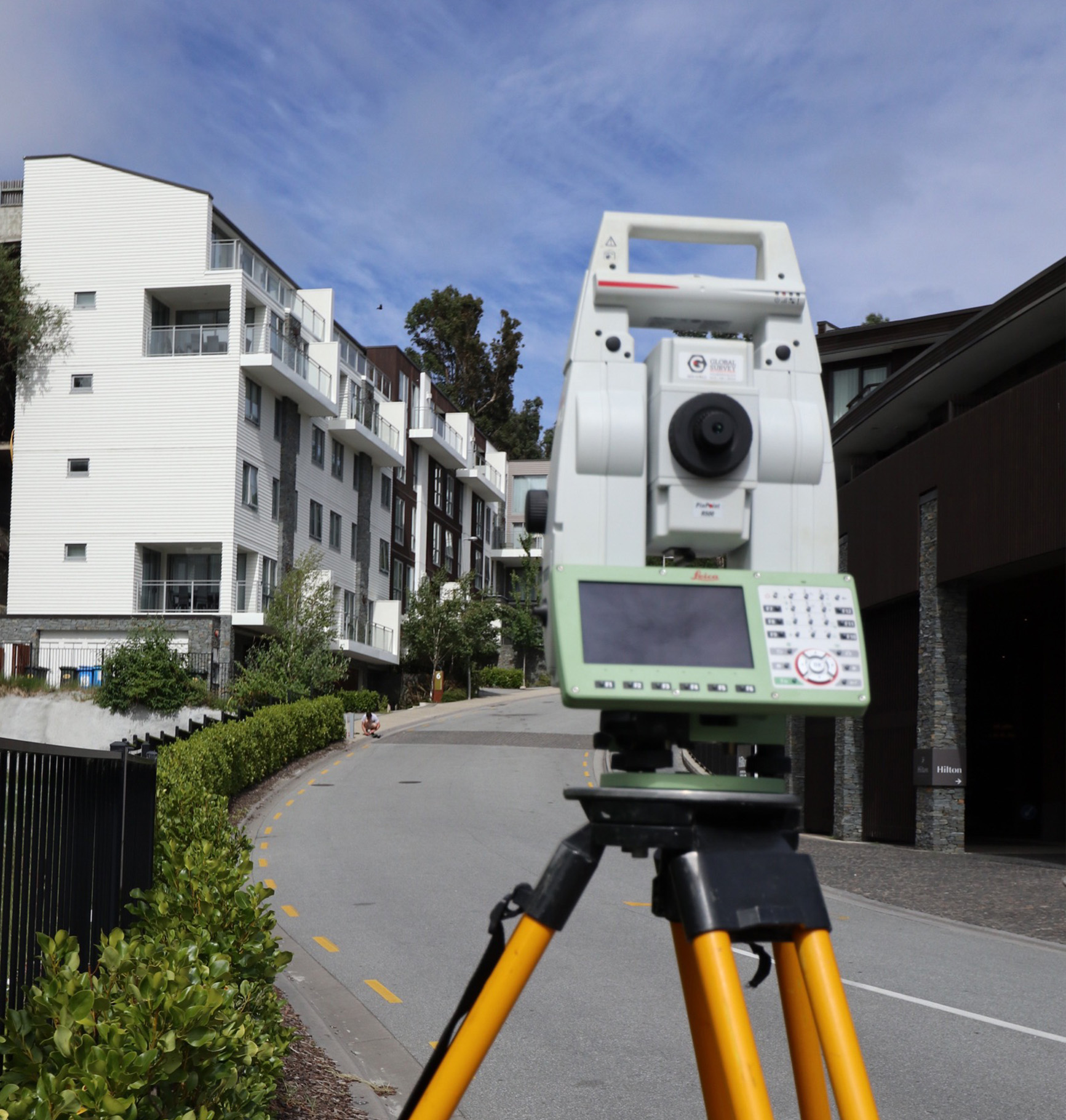
Using advanced technologies including drone surveying, 3D laser scanning, GNSS, robotic total stations, and GIS, we capture highly accurate information efficiently while providing clients with practical advice based on decades of surveying experience.
Combined with more than 50 years of land development expertise, this enables us to deliver surveying solutions that are technically robust, practical, and tailored to the needs of each project.
Start your project with confidence
Whether you need a boundary survey, topographical survey, engineering set out, title survey, or comprehensive surveying support for a land development project, our experienced surveyors can help.
Book a discovery call or contact our Surveying Team to discuss your project.
Surveying Questions
Depending on the size of your property and project and availability of historical data survey costs can vary greatly. We provide an estimate of survey costs at the start of a project.
Most land development and subdivision projects require a topographical or “topo” survey which will detail the land contour and any other features on the land. The electronic data provided by a topo survey is then used in a number of ways in the development process– including geotechnical assessments, infrastructure design, ecological reports, archaeological reports, architectural design and landscaping reports.
Quite often your boundary isn’t where it appears to be! Our land surveyors are available to fix the position of your boundary.
If you are subdividing, Licensed or Registered Professional Surveyors are required to undertake the legal definition of a new land parcel for the purposes of creating new titles. This is a core part of the services we provide. Land surveyors also undertake a wide range of other survey work required as an integral part of a development project.