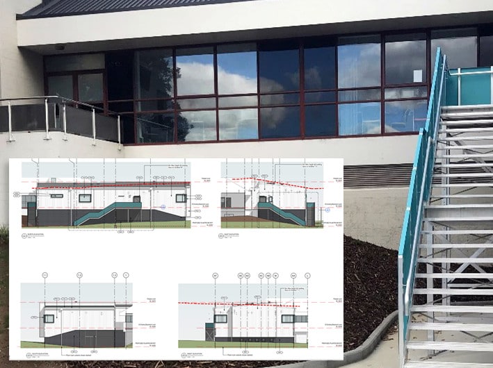
3D Laser Scanning
High-definition digital capture for accurate design, planning and project delivery.
- High-accuracy existing condition surveys
- 3D point clouds and digital site capture
- Building, infrastructure and industrial surveys
- BIM, CAD and design-ready survey information
Capture existing conditions with confidence
Accurate existing site information is the foundation of successful design and construction. 3D laser scanning captures buildings, structures, infrastructure and complex environments with exceptional accuracy, creating a highly detailed digital record that can be used throughout the life of a project.
Whether you're designing alterations to an existing building, preparing engineering designs, documenting heritage structures or developing Building Information Models (BIM), laser scanning provides reliable survey information that reduces uncertainty and supports better decision-making.
3D laser scanning services
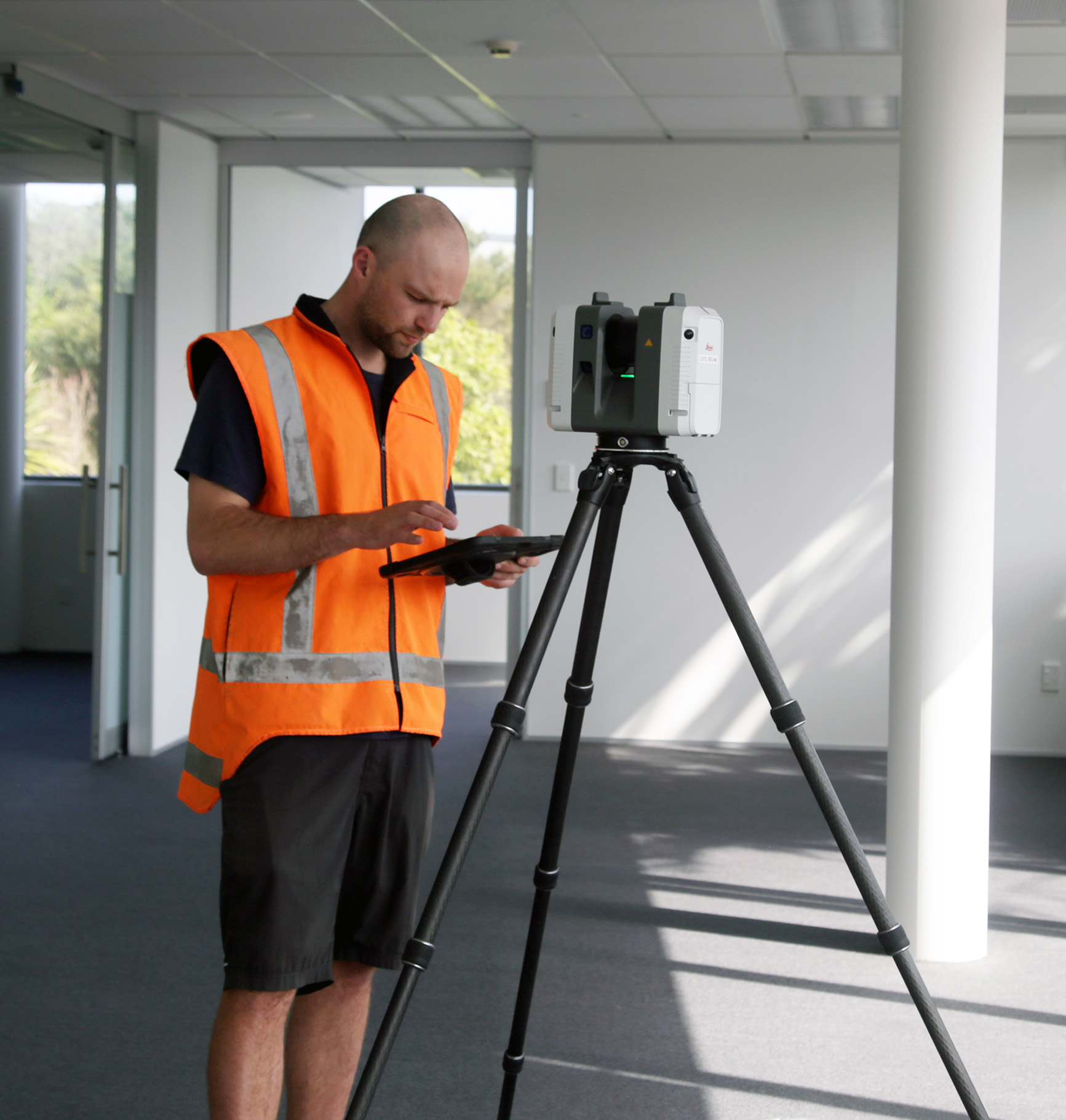
Our specialist surveying team provides laser scanning services for a wide range of projects, including:
- Existing buildings and structures
- Residential, commercial and industrial developments
- Civil infrastructure and transport projects
- Heritage buildings and conservation projects
- Building Information Modelling (BIM)
- Architecture and engineering design
- Construction verification and as-built documentation
- High-density point cloud generation
- CAD and 3D model creation
- Digital existing condition surveys
Need accurate existing site information? Talk to our Surveying Team.
Contact us todaySupporting design from the very beginning
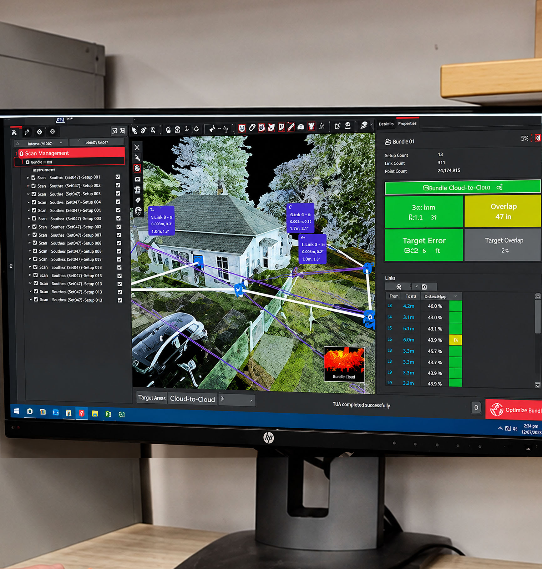
3D laser scanning captures millions of accurate survey points in a matter of minutes, creating a detailed digital representation of the existing environment.
This information can be used directly by architects, engineers, surveyors and designers to develop accurate models, coordinate disciplines and prepare documentation with confidence. It is particularly valuable where traditional survey methods may be impractical or where large amounts of detailed information are required.
Because point cloud data can be integrated into a wide range of CAD and BIM software platforms, project teams can work from a consistent and highly accurate representation of existing conditions.
Start with accurate site information
Reliable survey data leads to better design decisions.
Whether you're planning alterations to an existing building, developing engineering designs or creating a detailed BIM model, our team can provide the high-quality digital information needed to support your project.
3D Laser Scanning FAQs
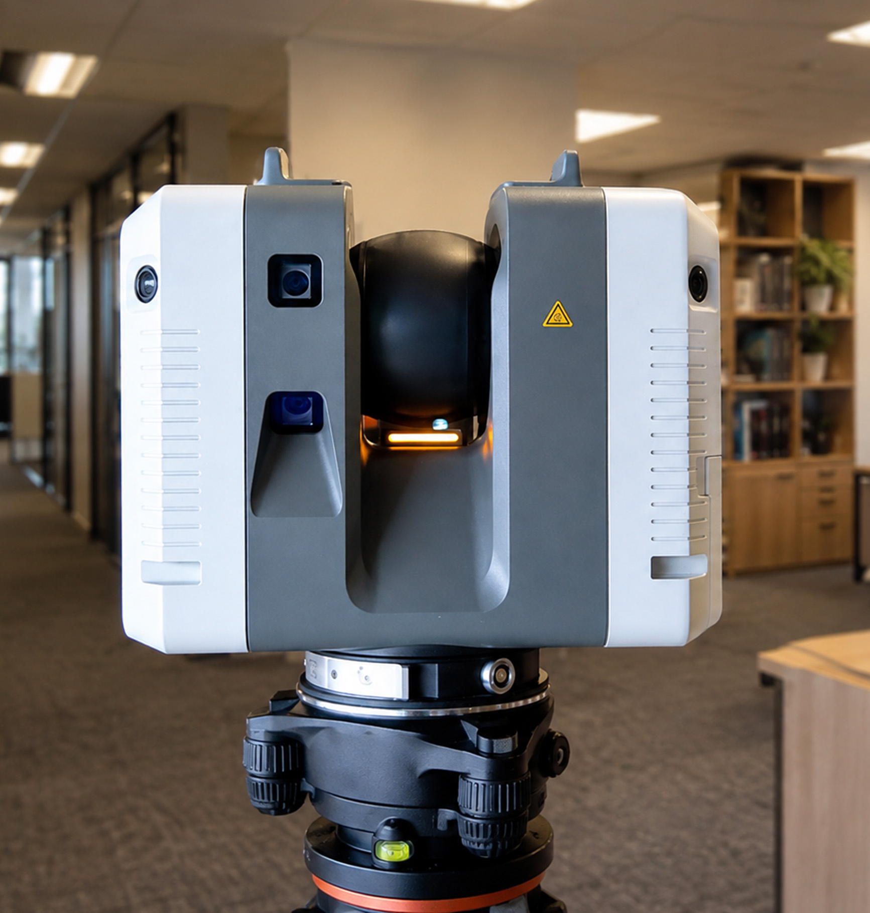
Laser scanning captures millions of survey points to create a detailed 3D point cloud. This data can be used to produce accurate plans, elevations, sections, CAD drawings and Building Information Models (BIM).
Yes. It is widely used to document existing buildings, heritage structures, industrial facilities and infrastructure, providing highly accurate information for renovations, alterations and redevelopment projects.
3D laser scanning is ideal when a project requires a high level of detail, complex structures need to be captured, or accurate existing conditions are critical for design, engineering or construction.
Yes. We can provide point cloud data and other digital outputs in formats compatible with a wide range of CAD, BIM and modelling software used by architects, engineers and other consultants.