Free Rural Site Assessments
Clear, practical advice to understand what’s possible on your land
- Understand subdivision and development potential
- Identify constraints and opportunities early
- Explore practical ways to add value
- Get clear next steps for your land
Start with clarity
If you own rural land and are considering subdivision, additional dwellings, or changes to land use, knowing where to start can be the hardest part. Planning rules, environmental constraints, and infrastructure requirements are not always clear from a title or zoning map alone.
Cato Bolam offers free rural site assessments across Northland, Auckland, and the Waikato, giving landowners a practical, on-the-ground understanding of what may be possible and how to add value effectively.
This is an early, no-obligation assessment designed to replace guesswork with informed options.
Who rural site assessments are for
Our free rural site assessments suit landowners who are thinking carefully about the future of their land and want to explore practical ways to add value over time.
This includes:
- Rural landowners considering subdivision as part of long-term planning
- Families exploring future homes or additional dwellings
- Landowners balancing land value with bush or wetland protection
- Those with a clear idea who want to test what may be achievable
If you’re weighing up real options for your land, this assessment provides a clear starting point and helps define what comes next.
What’s involved
Our rural site assessments combine desktop analysis and, where subdivision potential is evident, a site visit to provide a clear understanding of subdivision opportunities and the practical considerations that may influence them.
Desktop review
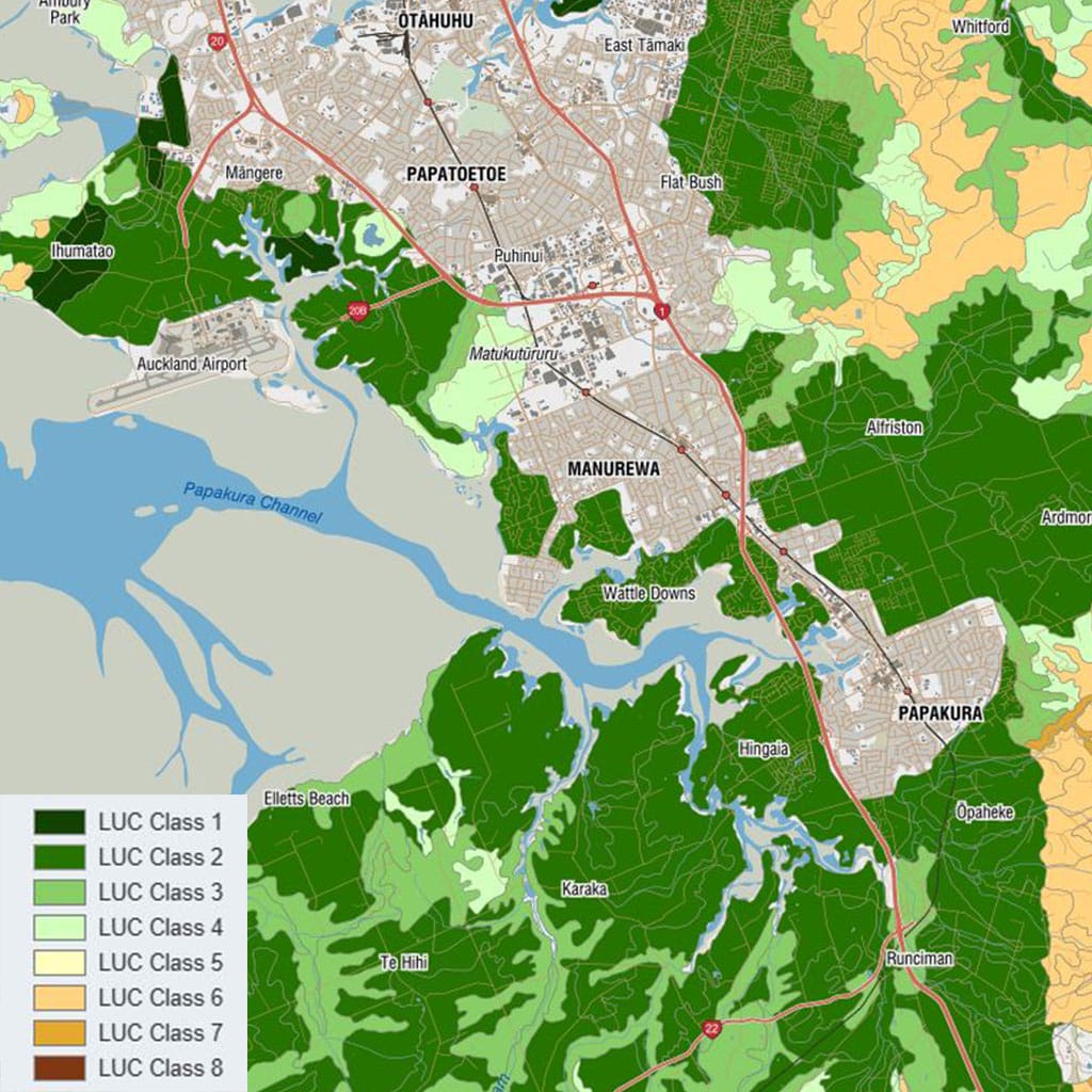
Before visiting the site, our team undertakes a preliminary review using:
- Aerial photography
- GIS and planning maps
- Zoning and rule overlays
- Known environmental and infrastructure constraints
This helps identify key considerations early and informs the site visit.
Site walkover
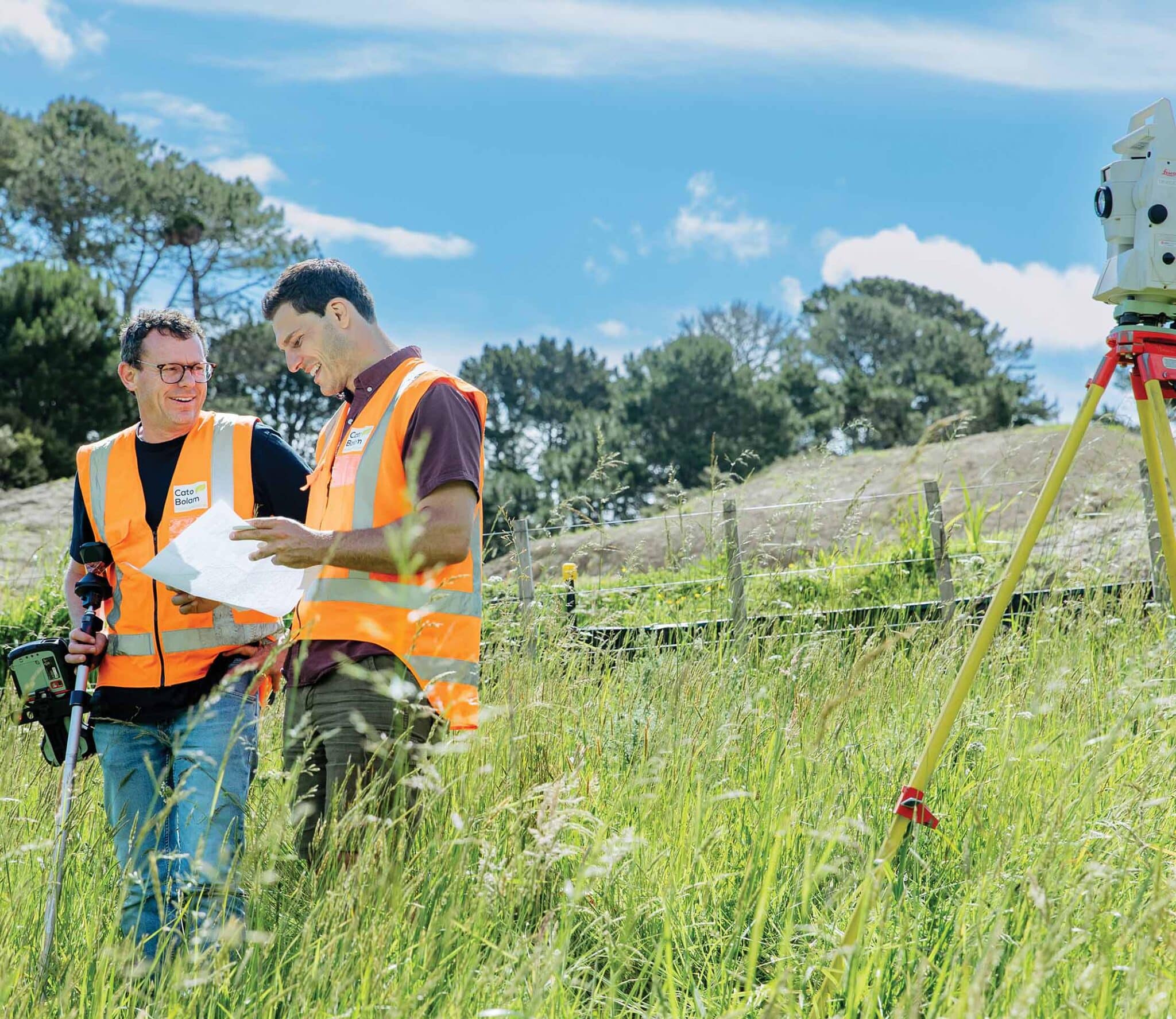
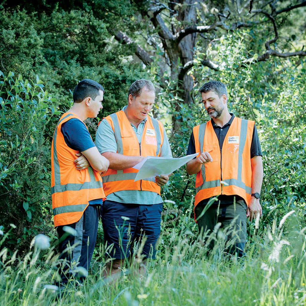
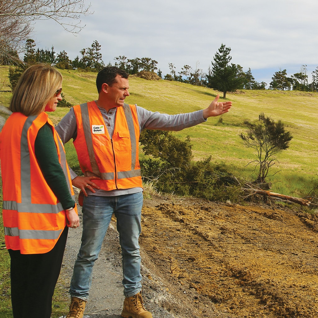
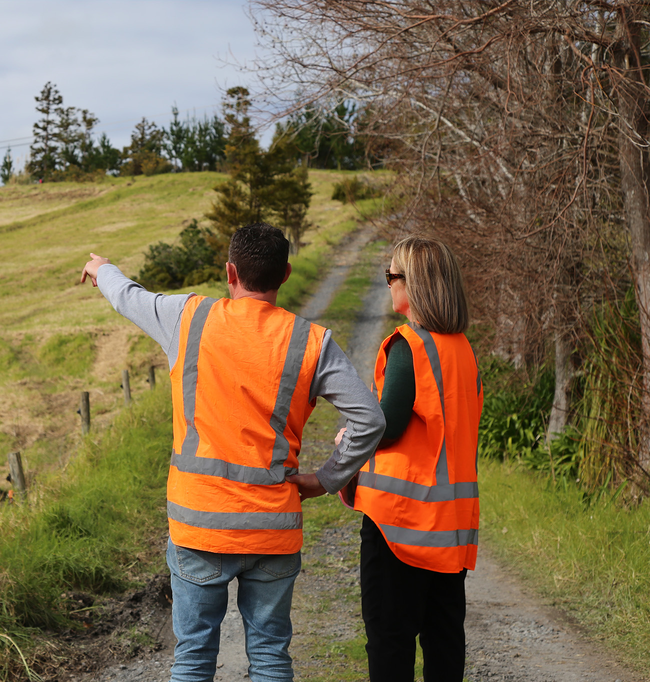
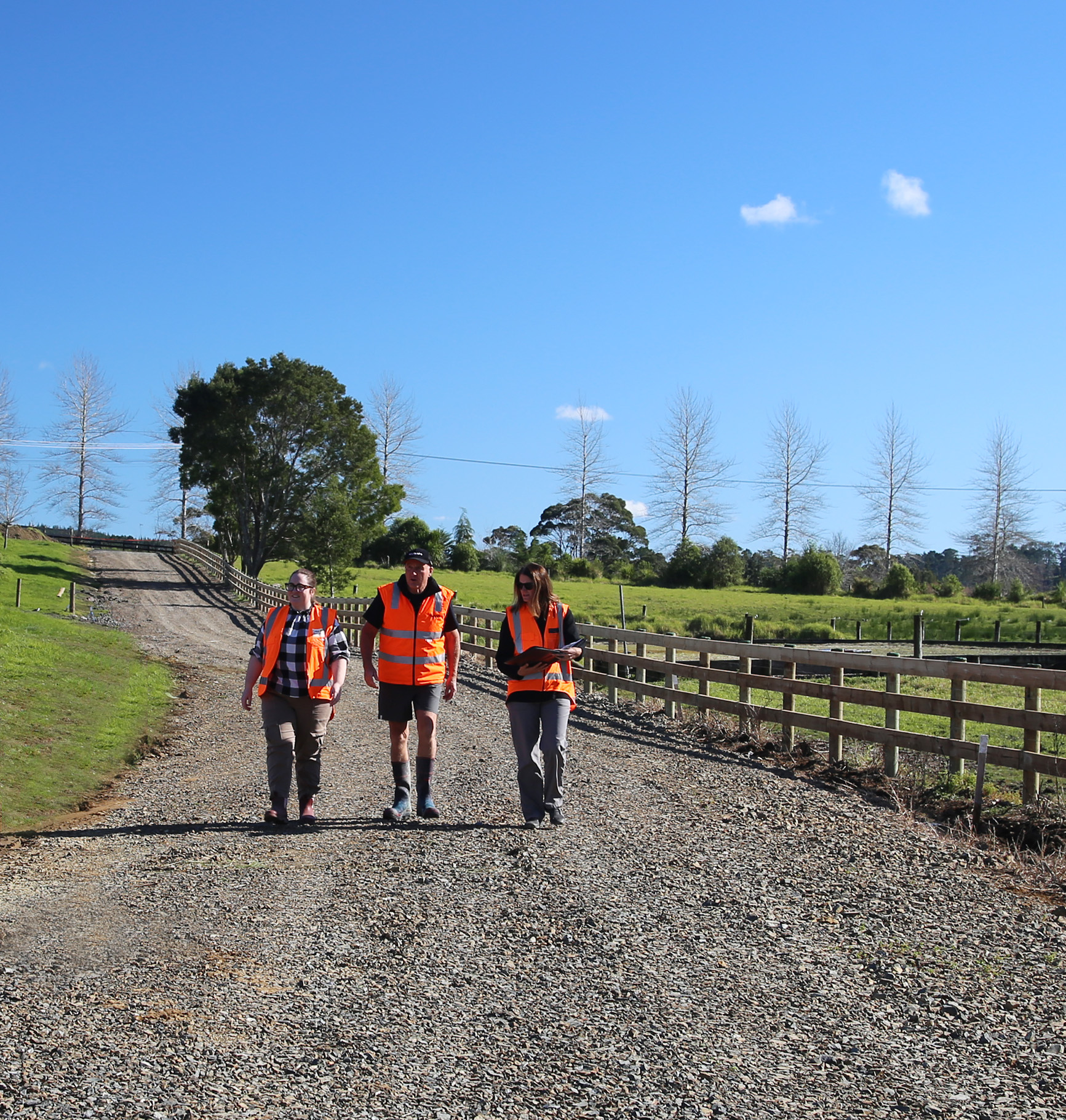
If the desktop review indicates the potential for subdivision, we then meet you on site and walk the land together. During this visit, we:
- Assess wetlands, streams, and bush areas potential
- Discuss how the land is currently used and your future goals
- Identify potential house sites and development areas
- Consider access, servicing, and physical constraints
- Consider access, servicing, and physical constraints
This is a practical conversation, aligning professional insight with how you want to use your land.
Book your free rural site assessment or get in touch to discuss your land and next steps.
Contact us todayPreliminary concept and advice
Following the site visit, we provide high-level guidance and a preliminary sketch outlining:
- Potential subdivision or development layout
- Key environmental considerations and protection requirements
- Access, utilities, and servicing implications
- Planning and regulatory factors to be aware of
The outcome is a clearer picture of what may be achievable and what would be involved in progressing further.
Tailored advice on rural development options
As part of the assessment, we provide initial advice across a range of rural development pathways, including:
- Rural subdivision, including bush and wetland protection or enhancement
- Countryside Living Zone subdivision
- Transferable Development Rights
- Boundary relocations
- Minor dwelling units
- Rural worker accommodation
- Rural land use change
Advice is tailored to local planning frameworks across Northland, Auckland, and the Waikato.
Book a free rural site assessment
If you own rural land and want a clearer understanding of what’s possible, our team is here to help.
Rural Site Assessment FAQs
A rural site assessment is an early-stage review of your land to understand subdivision, development potential, and key constraints.
It includes a desktop review and, if subdivision potential is evident, a site visit. We then provide high-level advice on your land’s subdivision potential with a preliminary concept sketch.
Yes. It is a no-obligation initial assessment designed to help you understand what may be possible.
No. Many landowners use this process to explore options and understand what could be achievable.
Yes. If you decide to proceed, we can manage and deliver the entire rural subdivision project from concept to completion.